

The Storm Prediction Center has upgraded the risk of severe weather in the Attractions area on Sunday to enhanced (risk level 3 of 5) and issued a Severe Thunderstorm Watch valid through 4PM.

A severe thunderstorm watch means that conditions are favorable for thunderstorms capable of producing 58+ mph winds, 1+ inch hail, and tornadoes. In this case, the SPC says that scattered damaging winds are likely, with isolated hurricane-force wind gusts of 75 MPH possible. They also caution of the possibility of isolated incidents producing significant hail 1.5 inches in diameter. A tornado is also possible but is less likely.
Overall threat levels for any given point in the attractions area are:
- 58 MPH+ wind: 30% – 44%
- 1-inch+ hail: 5% – 14%
- Tornadoes: 2% – 4%
The SPC says the storms will begin in the gulf and slide over our area by mid to late afternoon. Forecast models appear to be generally in agreement with that concept, but disagree somewhat on exact timing.
   SUMMARY...A severe thunderstorm cluster is expected to organize over
   the next few hours from activity initially over the northeastern
   Gulf.  The resulting storm complex then should accelerate eastward
   and southeastward down the peninsula today.  Isolated severe hail
   and strong/damaging gusts also may occur from thunderstorms ahead of
   the main complex.  Severe gusts will be the main threat, with
   isolated large hail and a tornado also possible.
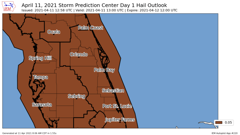
Here’s a graphical overview of the various threats associated with today’s event. Numbers shown convert to percentages; as an example, 0.05 represents 5%, and 0.30 represents 30%.


Learn More
Marginal, Slight, Enhanced, Moderate, High… what’s the difference? Learn about the Storm Prediction Center’s outlook products and how they’re issued by reading our two part series:
Understanding Severe Weather Outlooks: Part One | Part Two